There are quite a few online DA calculators. Here are a couple:
http://wahiduddin.net/calc/calc_da.htmhttp://www.csgnetwork.com/densaltcalc.htmlYou can install a DA calculator app into your Iphone. $1!
Most of the info you need is on weathernetwork.ca and as far as altitude, google earth can get you that. Or look up the nearest airport on google. Close enough for our needs.
I just went by memory that Rosebud is at about 5500' elevation and Tacoma can't be more than 500' elevation. Plug in 25C temp and the density altitudes go way up.
Depending on which calculator you use, you will need local atmospheric pressure, or you will need what is called pressure altitude (what an aircraft altimeter reads when set to 29.92 " of mercury at that location). Local barometric pressure is easier to get!
For sure temp and physical local elevation are the biggest factors, then air pressure, then humidity.
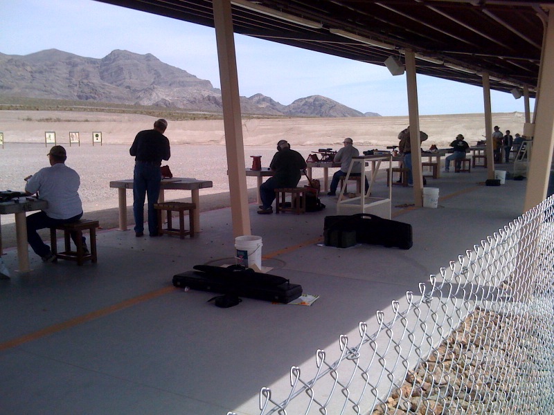
Interesting stuff, but maybe not all that significant? Temp is the big player, but when you travel as much as many have planned this year, it might be nice to know where you sit in terms of DA. One more thing to note in your log book. I plan to keep an eye on DA as the day progresses. For this year it will be more out of curiosity.
Rick


 .
.